top of page
Ridgecraft Product Demonstration
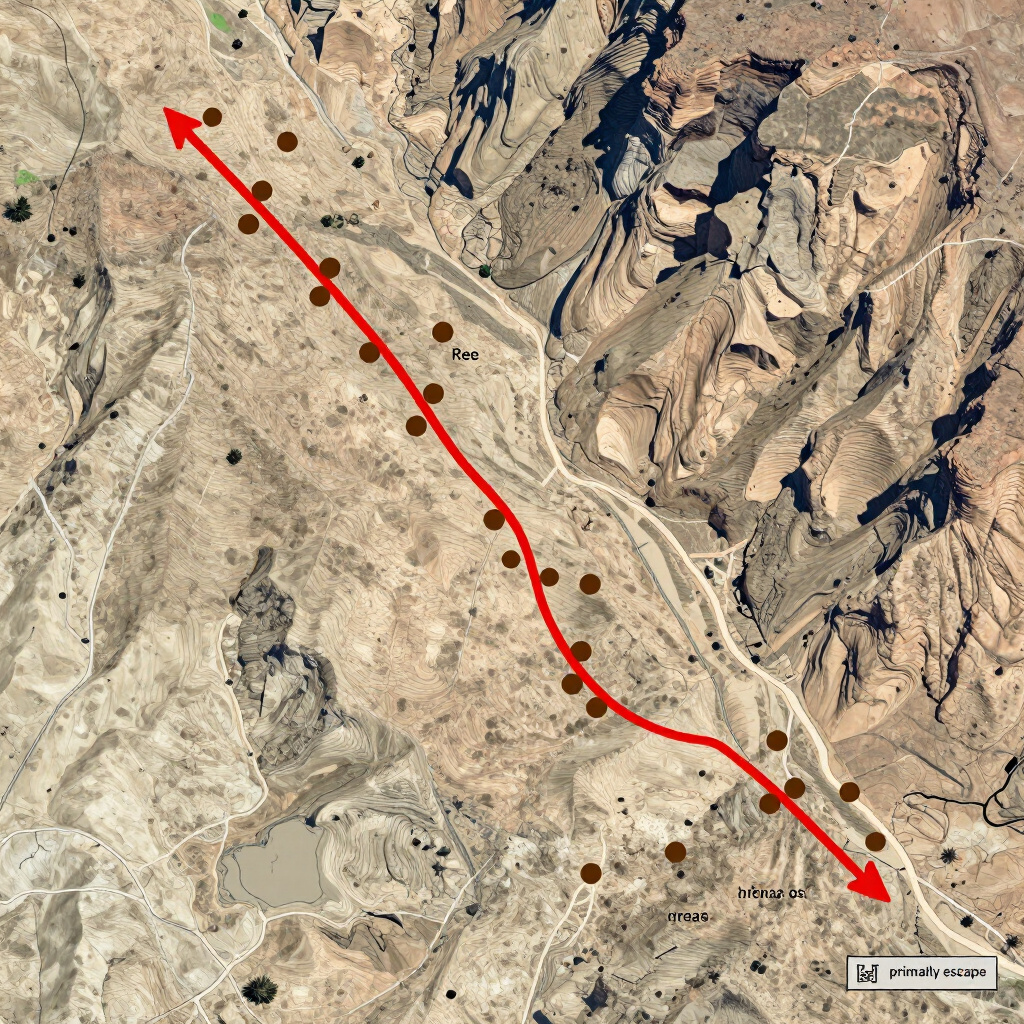
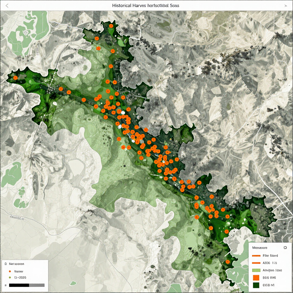
Explore real scouting intel examples for western hunts, powered by GIS data and our proprietary selection algorithms.
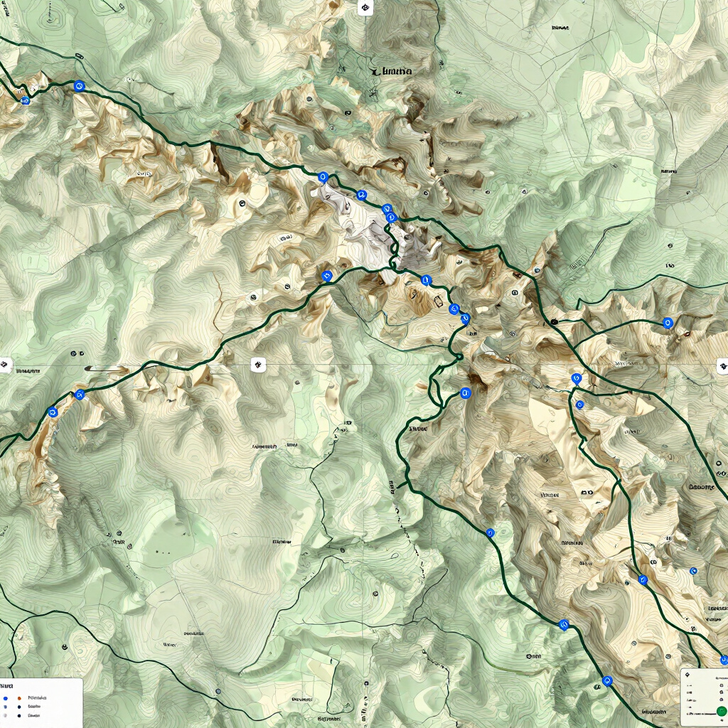
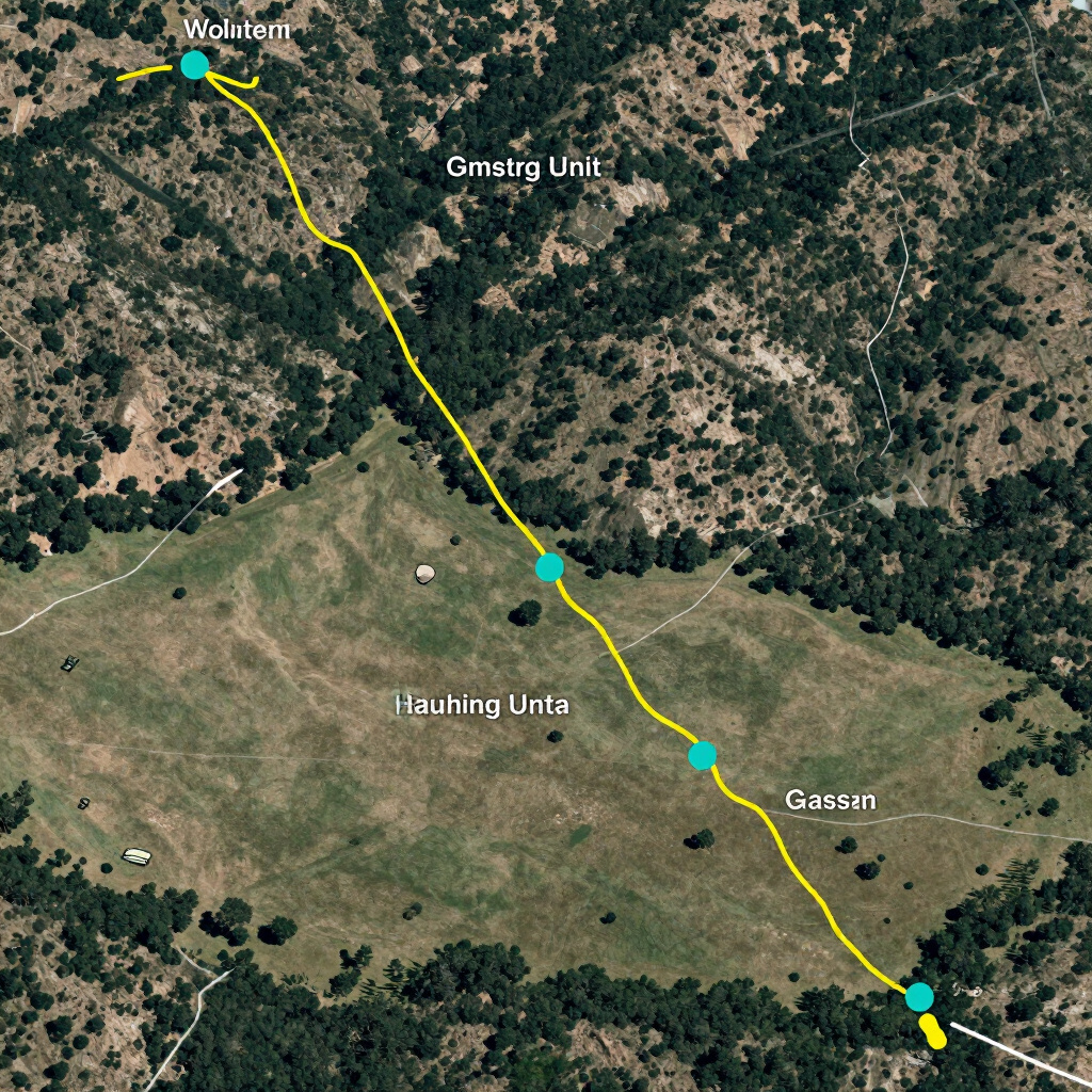
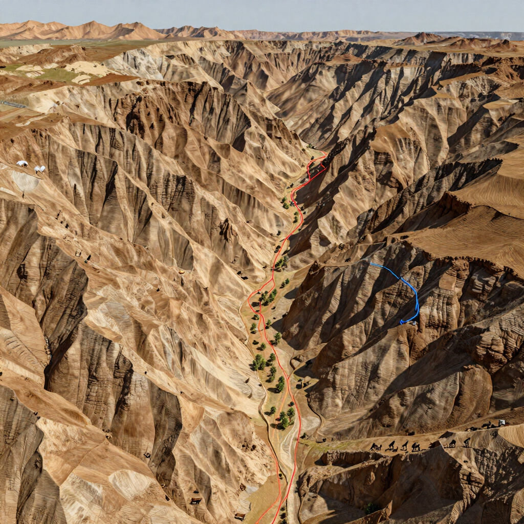
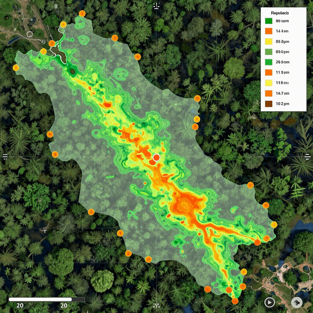
Intel Depth
Explore high-resolution screenshots from our proprietary GIS mapping software, showcasing the precision mapping provided in our scouting intelligence packets.


Client Success Stories
“
Ridgecraft's intel was the difference maker. We found elk exactly where the mapping suggested, saving us miles of fruitless hiking.
John M. | Wyoming Hunter
“
The GIS PDFs are pure gold. The level of detail on terrain movement corridors is something I haven't seen in any other service.
Sarah K. | Professional Guide
“
Finally a scouting service that understands western topography. The algorithm spotted a glassing point we’ve missed for years.
David R. | Backcountry Hunter
bottom of page